Articulated path, with different stretches. Trail on roads closed to traffic in the rush hours of the day and partially with asphalt; unpaved roads (even old military roads)
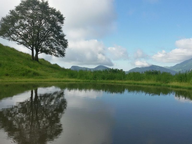
Features: Trail of great interest from natural, landscape (extraordinary landscapes) and historical points of view (Great War items)
Alpine Huts: Postemonzel, Pizzagrola, Postemon, Pravec’ di sopra, Pravec’ di sotto, Susine, Montagnola e Vignola
Identity card:
- Minimum altitude: Polsa (1300 m)
- Max altitude: Colme di Vignola (1540 m)
- Length: 20 km
- Panoramic point: Monte Vignola
- Rest areas: Malga Susine (1327 m)
- Service: San Valentino, San Giacomo e Polsa
- Camp: Malga Postemonzel